

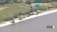
WBOC is proud to serve Big Stone Beach, and all of Kent County, DE.
From
To


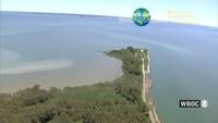
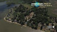
WBOC is proud to serve the Black Walnut Point Natural Resources Management Area, and all of Talbot County.

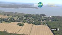
WBOC is proud to serve the Delaware Botanic Gardens, and all of Sussex County.


WBOC is proud to serve East New Market, and all of Dorchester County.


WBOC is proud to serve the Tucker House, and all of Queen Anne's County.


WBOC is proud to serve the Hooper Strait Lighthouse, and all of Talbot County.

WBOC is proud to serve Mount Vernon, and all of Somerset County.

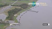
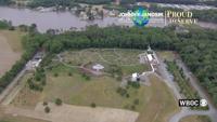
WBOC is proud to serve Holts Landing State Park, and all of Sussex County.


WBOC is proud to serve Parsonsburg, and all of Wicomico County.