
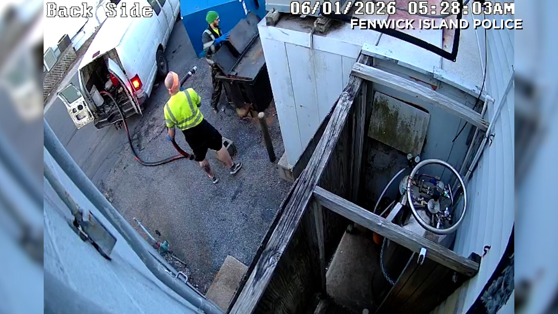

Fenwick Island police say two men have been arrested and charged in connection with a string of unusual thefts targeting used cooking oil from restaurants in and around Fenwick Island.
From
To

Dover officials are considering a new public safety fee to help cover the rising costs of police and fire services, but questions remain about who should ultimately pay for it.


Several businesses along the Coastal Highway corridor in Lewes were targeted early Saturday morning in a series of break-ins and attempted bre…


A new industrial development is taking shape just outside the Dover Air Force Base, as developers look to bring more business growth and jobs …


Pocomoke City police are warning businesses and customers to take a closer look at their cash after a recent influx of counterfeit bills.


A national paintball tournament is bringing more than just competition to Dover—it’s drawing crowds, boosting local businesses and introducing…


A bill moving through Dover could bring in more than $140 million a year for Delaware by increasing fees on businesses — but some small busine…


Businesses in Ocean City say J-1 summer work travel students remain a critical part of the resort’s seasonal workforce, and concerns about vis…

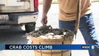
The 2026 crabbing season is getting underway on Delmarva, but watermen and seafood businesses say rising costs are already creating challenges…


On Tuesday night, the Talbot County Council passed legislation that sets zoning rules for cannabis businesses. Talbot leaders noted that the b…