A man was killed in a crash near Georgetown, according to Delaware State Police.
A man was killed in a crash near Georgetown, according to Delaware State Police.
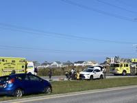
The bicyclist who died after being hit by a car last week in Bethany has been identified.