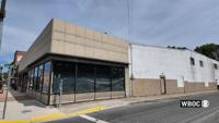
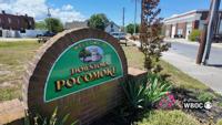
A long-vacant downtown Pocomoke City building is moving closer to new life after city officials approved final site plans for a mixed-use rede…
From
To


Two downtown Salisbury restaurants are teaming up to give local soccer fans a place to watch and celebrate the World Cup.

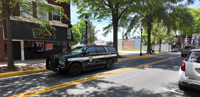
As summer activity picks up across the capital city, the Dover Police Department is increasing its presence on the streets through a new Enhanced Visibility Patrol initiative aimed at deterring crime and addressing quality-of-life concerns.
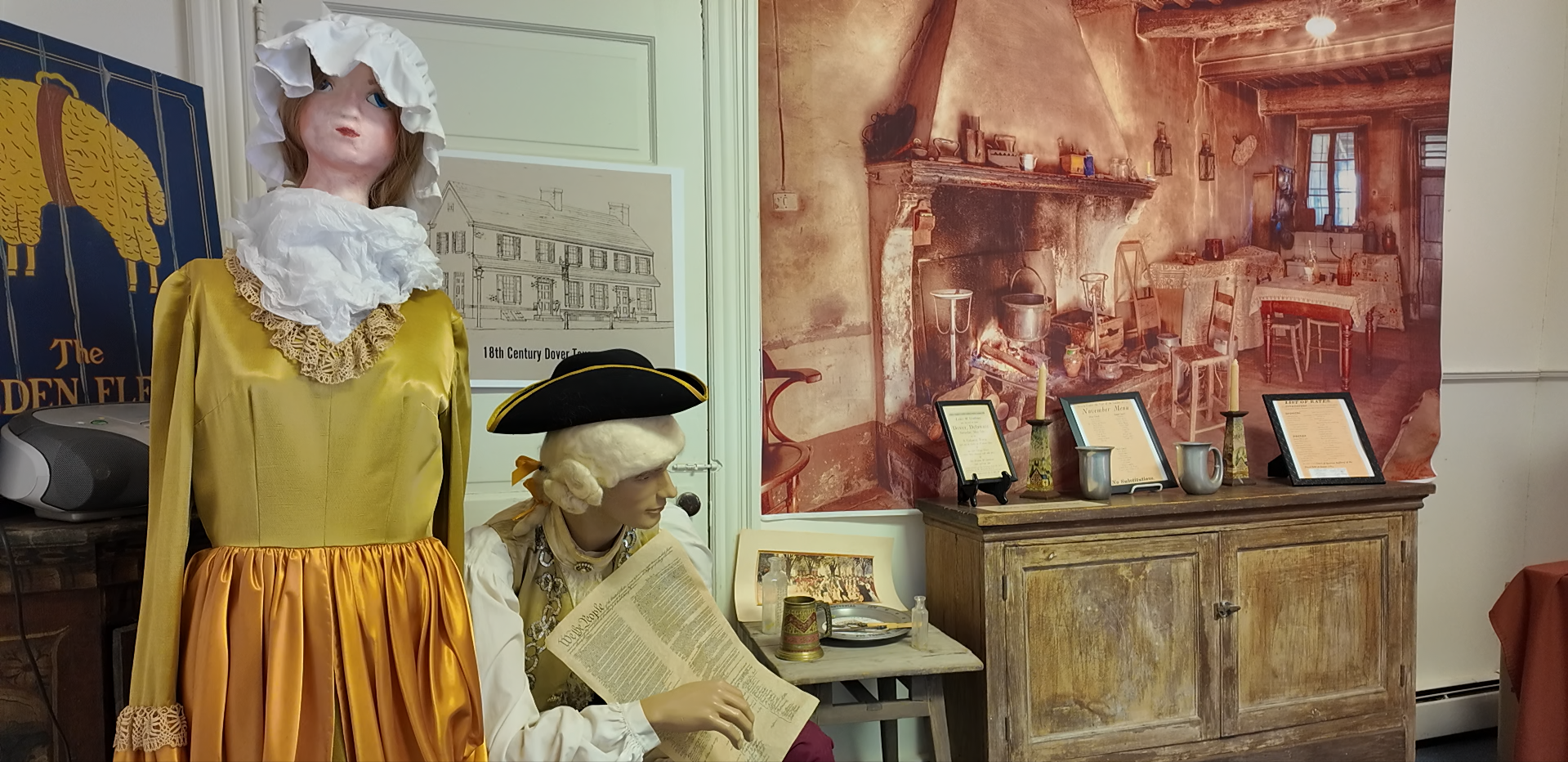

A proposed museum dedicated to preserving the stories and artifacts of Central Delaware is gaining support from local leaders.


View of the Commerce Square (Praca do Comercio) and the Rua Augusta triumphal arch, in the city of Lisbon, Portugal, at dusk.


A solemn, yet celebratory ceremony in downtown Salisbury honored the life and sacrifice of fallen Salisbury Police Officer Henry Stephens on F…

A recent meeting organized by Worcester County Tourism and Economic Development brought local, county and state stakeholders together to discu…

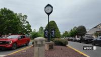
Loockerman Plaza, long considered the heart of downtown Dover, is at the center of a proposed redesign aimed at improving safety, accessibilit…
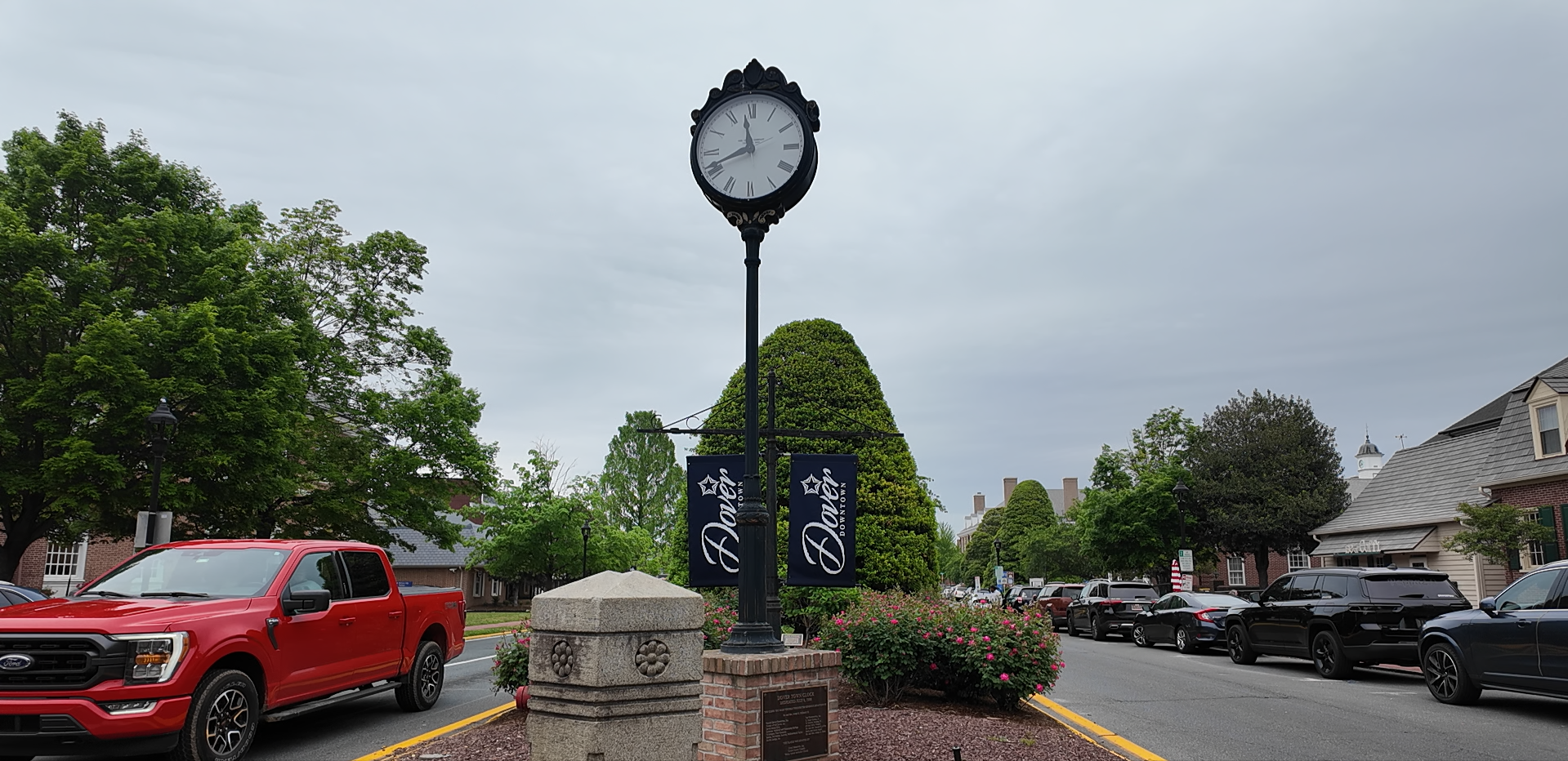

Loockerman Plaza is at the center of a proposed redesign aimed at improving safety, accessibility, and connectivity—but for some residents, the bigger question is whether those changes can restore what they feel the area has lost.