

Forecast updated on Thursday, July 20, 2023, at 3:50 PM by WBOC Meteorologist Dan Satterfield (AMS-CBM).
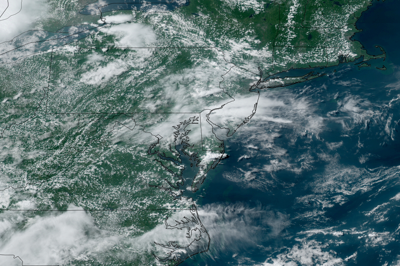
SYNOPSIS: Spotty showers will end this evening with some clearing late. A weak cool front will bring some heavier thunderstorm cells to the area Friday morning with some spotty storms around in the afternoon as well. The weekend will be a little more comfortable with lower humidity behind a summer cool front.
DELMARVA FORECAST
Tonight: Scattered storms about. Some may be heavy. Warm and humid. Low 71° Wind: S 3-7 mph.
Friday: Warm and muggy with morning showers and storms likely. Some isolated storms PM. High 89° inland and 87° on the beaches. A weak PM sea breeze will drop coastal temps. to 83° later in the day. The rain chance is around 60%. Wind: SW 4-12 mph. Winds on the coast will be south at 7-13 mph PM.
Friday Night: Fair skies and slightly cooler. Not quite as muggy late. Low 68-70° Wind: NW 5-10 mph.
Saturday: Sunny but not as hot or as humid. High 85-87° inland and 87° on the beaches. A weak PM sea breeze will drop coastal temps. to 84° later in the day. Wind: NW 5-10 mph. Winds on the coast will be NE at 7-12 mph PM.
Forecast Discussion:
A muggy night is on the way, with some spotty storms possible late as a cool front approaches Delmarva. Some storms may be heavy. Winds will be light except gusty near stronger thunderstorm cells. Look for light winds and lows near 71-73 degrees.
Friday will be warm and muggy again with a good chance of rain and thunder in the morning hours. Some scattered storms may develop in the afternoon as well but skies will be clear by evening as a drier airmass slowly edges into the area. Look for temps. near 88-90° Winds will be southwesterly at 4-12 mph. A very weak sea breeze will turn the winds to the south on the coast with temps. falling to around 83 degrees in the afternoon, but temps. may briefly reach 90° at midday. The risk of measurable rainfall is around 60% at any one spot Friday morning. A cool front will pass by evening with drier air arriving by Saturday.
Saturday will be less humid and not as warm behind the cool front. Look for temps. near 85-87° with dew points dropping from the mid 70's to the low 60's. This will give a more comfortable feeling to the air. Winds will be NW at 6-11 mph. A very weak sea breeze will turn the winds to the south on the coast with temps. falling to around 82 degrees in the afternoon. Temps. will drop into the mid 60's Saturday night into early Sunday.
In the long range: Sunday will be sunny with light winds and lower humidity. Look for PM temps. near 87. Monday looks sunny and just a little warmer, but it will turn warmer and more humid again Tuesday -Thursday with temps. back to near 88-90°. There will be some spotty storms around Tuesday, but the rain chances look rather low from Wednesday into Friday. Heat index values will be near 97-99° later next week.
The average low for mid July is 69°, with a high temp. of 88°. These are the highest averages for the entire year.
