

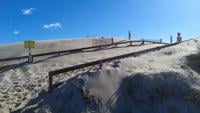


BERLIN, Md. - Scientists are hoping a bird's eye view of the dunes at Assateague State Park will help them deal with mother nature's impact.
Maryland's Department of Natural Resources will soon be turning to drones to survey the beach's ever-changing landscape. DNR says it's common for dunes to shift as the seasons change. But too much or too little can be a problem.
DNR's Coastal Resilience Planner Kate Vogel says, "Dunes naturally change over time. They migrate westward. There is always sand shifting. But, in the case of Assateague, if too much sand or too little sand is in an area it creates dune instability which can be dangerous for visitors and also just the protection of the resources behind it. Or if there's too much then, it can kind of shear and can prevent access to these resources."
Vogel explained, "Wind on a sunny day can do a lot of damage here and so this is taking up staff time and hours decreasing beach access. The sand moves so much sometimes that it covers the boardwalks at the dunes. And we need to look at how often is that happening, why that is happening, and what can we do about it."
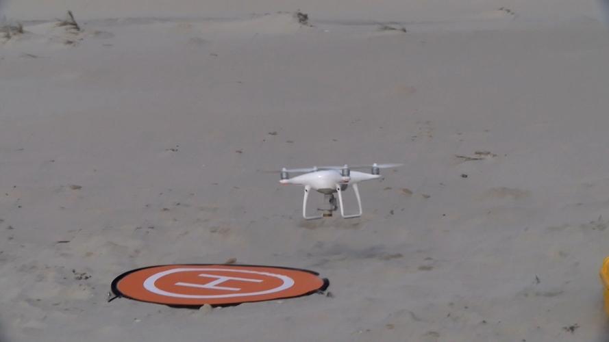
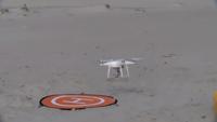
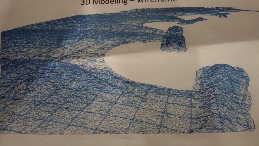
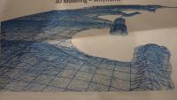
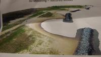
This is why DNR is partnering with Assateague State Park to use drone technology. A drone will fly and survey the entire 2 miles of the beach during the spring and fall seasons. A camera is attached to the drone that takes thousands of pictures. Those pictures are compiled and able to create a 3D model of the dunes on the beach. [Example pictured above].
Park Manager of Assateague State Park, Angela Baldwin says, "So with this new technology it's going to allow us to take more detailed pictures and more regular surveying of the conditions of the dunes. Whether it is [the dunes] collecting sand, whether it is losing sand, where it is moving within our campground, it's going to help us make decisions for how to deal with that."
DNR says they hope to officially start surveying the land in Spring 2024.
