


Forecast Updated on Thursday, May 9, 2024, at 4:20am by WBOC Meteorologist Mike Lichniak.
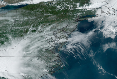
Today: Mostly cloudy with passing showers and a few thundery downpours likely. Some spots could see over 0.75 inches of rain while other areas see far less. High 78°. Beaches 64°. Wind: E 7-16 mph.
Tonight: Mostly cloudy, and a bit less humid. A passing shower is likely. Low 56°. Beaches 57°. Wind: NE 0-6 mph.
Friday: Partly sunny, breezy, and not as humid. Passing showers likely. High 68°. Beaches 64°. Wind: NE/NW 9-18 mph.
Things start to get even more active over the coming days as we have a couple different pieces of energy swinging across Delmarva heading toward the weekend. A better chance for some showers and thunderstorms enter the forecast as a pretty good cold front clears Delmarva. This will come in two different waves. We will have some showers and storms early today as the warm front swings back across Delmarva. A better chance of scattered showers and storms arrives by later in the day and some of these thunderstorms could pack a punch with strong gusty winds, lots of rain and lighting, and even some small hail is not out of the question. We are still expecting highs into the 70s and 80s, but cooler compared to today with the rain chances early in the morning. There are indications we may have lingering showers in the forecast on Friday morning before we start to clear out into the afternoon and evening hours.
Cooler weather arrives for the weekend as a ridge of high pressure will slowly settle into control of the forecast with temperatures falling into the 60s and 70s for highs on Saturday and Sunday. Another weak system will come diving out of the Great Lakes with a chance of showers on Sunday. The ridge of high pressure comes into the region with control of the weather for a couple of days. Another stronger storm system will push into the region by late Tuesday into Wednesday with rain chances going up into mid-week.


