
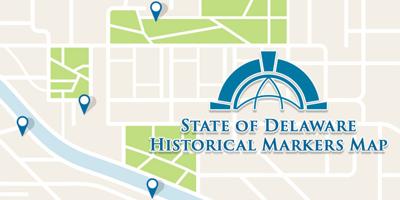


DOVER, DE - The Delaware Public Archives have announced they launched a new "enhanced State of Historical Markers Map" on the state's website. Officials say the new tool brings the first state's history to users' fingertips.
According to the state, the new interactive map, built on "ArcGIS", allows users to view all official historical markers, access details about each historic site, and navigate to related content on the archives' website.
The Delaware Public Archives says the map website features filtering options that allow users to search by marker category, city, and historical categories like "America's 250th Anniversary, Black History, Hundreds, Native American Heritage, and Women's History."
A link to the new maps website can be located here.
